New Southampton flood mapping opens for public review before Nov. 19 vote
The Saugeen Valley Conservation Authority is releasing draft maps showing where development in Southampton will need its review and permits. That will reopen a debate that once had Saugeen Shores' mayor warning the authority could "sterilize half the developable land left in Southampton."
By David Ellis · · 2 min read
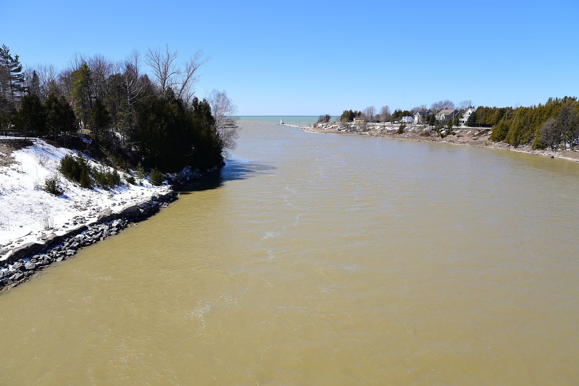
The Saugeen Valley Conservation Authority is releasing draft maps showing where development in Southampton will need its review and permits. That will reopen a debate that once had Saugeen Shores' mayor warning the authority could "sterilize half the developable land left in Southampton."
In an Oct. 14 release, the SVCA said the draft regulated-area mapping will be posted on its website for at least 30 days. The authority's board is scheduled to consider it on Nov. 19. People can view it at saugeenconservation.ca/southampton and comment through saugeenconservation.ca/southamptonform.
Chatsworth is one of the SVCA's member municipalities. Its representative on the authority's board is Peter Whitten, according to the SVCA's board page.
How we got here
The mapping comes from a floodplain study that began in 2022 with the Town of Saugeen Shores, the SVCA said. In 2024 both the authority and the town accepted the new floodplain maps after an independent engineering review and two public sessions. In 2026, a "Two-Zone" policy was approved for parts of Southampton, allowing "safe development within low-risk areas of the floodplain," according to the release.
The SVCA said it is required to update its regulated-area maps when new technical information becomes available.
"By working together and securing federal funding, we are advancing detailed floodplain mapping that will inform development decisions and help protect people, property, and infrastructure over the long term," SVCA general manager Erik Downing said in the release.
The fight behind it
The maps were contentious. In March 2025, the Shoreline Beacon reported that the area mapped as floodplain had "increased substantially" since a 1992 update. Under the old One-Zone approach, all development in the floodplain was barred.
Saugeen Shores Mayor Luke Charbonneau told council the authority's inflexibility could "sterilize half the developable land left in Southampton," the Beacon reported. He called the SVCA's administrative review process an "unmitigated disaster." He later apologized for his "heated comments."
Coun. Bud Halpin, one of the town's representatives on the authority, said the mapping was not meant to stifle growth. Much of the second stage of the floodplain "is really shallow," he said, according to the Beacon.
The town proposed the Two-Zone approach, the Beacon reported. Development would remain barred in the floodway, but in the flood fringe it could be allowed under conditions.
Your turn
Have you dealt with conservation-authority permits for a building project in Chatsworth or elsewhere in the Saugeen watershed? Tell us how it went at news@chatsworthbanner.ca or through our tip form.
Get stories like this in your inbox.
Council, roads, events and the week's top local stories. One short email, free to sign up.